
Emmanuel Kreike
  |
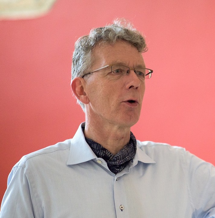
Professor Emmanuel Kreike is the Norman B.Tomlinson ‘16 and ‘48 Professor of War and Society and Professor of History at Princeton University, and Principal Investigator of the European Research Council Advanced Grant project 3TMAAP, based at the RFIEA/LASTIG Lab (IGN and Gustave Eiffel University, Paris).
A citizen of the Netherlands, he holds a PhD in African History from Yale University and a Doctor of Science in Tropical Forestry from Wageningen University, a rare dual grounding in the humanities and environmental sciences.
His work explores the intersection of war, displacement, environment and society: how violence reshapes human landscapes, and how communities rebuild afterwards. The focus of his current ERC Advanced Grant (2026-2031) is on the interdisciplinary study of environmental change combining more conventional oral and documentary history with historical aerial photography and digital, GIS and Machine Learning/Computational methods.
Emmanuel Kreike joins the Paris IAS in September 2026 for 10 months as part of his ERC project.
Research topics
History ; Environmental history and collective memory.
"Time-Traveling Trees: Machine-reading the Past, Present, and Future of Climate Change Adaptation from Archival Aerial Photography" (3TMAAP: Time Traveling Trees: Machine-reading Archival Aerial Photography)
While most history research projects result in a book, this project begins with a “book:” eight historical case studies detailing environmental change from three continents will serve to produce 8 machine learning training data sets to develop a methodology for the automatic analysis of quantitative and visual environmental data from historical aerial photographs.
This latter data in turn will allow for a new approach to study the 1940s-1990s Great Acceleration, which caused unprecedented environmental and climate change. Becoming ubiquitous in the 1940s, aerial photography has a sub-1-meter resolution which is key to identifying non-linear, non-monumental, and pre-industrial rural environmental infrastructure (e.g. trees, waterholes, fields) and how it has changed over time. Since satellite imagery only gained a comparable high resolution in the early 2000s, the ability to machine-read aerial photographs will quadruple the availability of high-resolution geospatial data, thereby allowing a more robust and nuanced analysis of environmental and climate change.
The project goals are: (1) to develop a historical ground truthing method to enhance the interpretation of historical aerial photographs to imagine historical landscapes and how they changed; (2) to produce machine deep learning training data sets by deploying historical ground truthing to identify and extract a set of features from sample areas in the study regions; (3) to use a more systematic and more historically informed object-based methodology to machine read archival aerial photography that is deployable at different spatial (local, regional, global) and temporal scales and make it available as an Open Access online software to read historical aerial photography world-wide.
By unlocking the mass data contained in archival aerial photography 3TMAAP opens a new path of research by systematically integrating historical ground truthing into the automatization of geospatial analysis, dramatically deepening the time depth of high-resolution mass data for historical analysis and geospatial and climate modelling.
Key publications
Emmanuel Kreike, "War by nature: the nexus of war, environment and society". War & Society, 45(3), 340–365, 2026
DOI : https://doi.org/10.1080/07292473.2026.2651490
Emmanuel Kreike, “Archival Aerial Photographs of Africa: Present Potential and Imagining a Machine-Learning Future,” History in Africa. 2024;51:134-167
DOI : https://doi.org/10.1017/hia.2024.4
Emmanuel Kreike, Scorched Earth: Environmental Warfare as a Crime against Humanity and Nature, Princeton:Princeton University Press, 2021
DOI : https://doi.org/10.2307/j.ctv11hprdz
|
|
|
|
|
|